
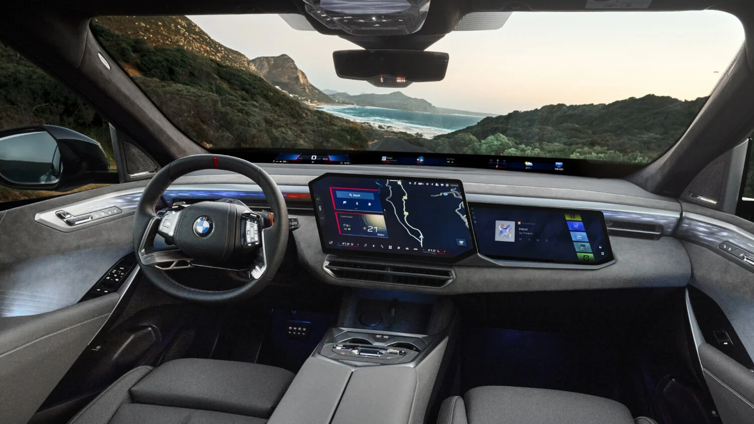
For many motorists, a GPS remains just an arrow turning right or left on a screen. BMW is preparing something else: navigation that visually explains why the car slows, shifts, or changes lanes. Starting in October 2026, the German brand will roll out a new generation of displays on its latest models. This could turn simple route guidance into a true dashboard for assisted driving.
This evolution has a name: BMW Maps with Driver Assistance, called “BMW Maps with Driver Assistance” in international communications. The feature brings, in a single 3D view, the route to follow, the car’s precise position in its lane, and the status of active aids. Developed with Mapbox, the mapping specialist, it will be offered on models equipped with the BMW Operating System X. The first to benefit will be the upcoming Neue Klasse family models, including the next electric SUV iX3. It remains to see what the driver will actually see on screen and where this function will be available in practice.
A BMW Maps 3D view that shows the road and what the car is doing
Until now, most cockpits separated information: navigation map on the central screen, the status of driving aids in the instrument cluster or the head-up display. The new BMW Maps 3D interface eliminates that boundary and places everything in a single graphical space. The car appears in its exact lane, integrated into the guiding map, with other vehicles and relevant markings around. On highways, Highway Assistant 2 uses this shared scene to manage hands-free driving up to 130 km/h, on compatible road segments.
Concretely, the car can propose an automated lane change to overtake a heavy truck or to position itself in the correct lane before an exit. The command appears directly on the map, in the same visual universe as the rest of the route. The driver then only needs to confirm the overtaking with a simple glance, thanks to the forward-facing monitoring camera mounted ahead, rather than by twisting the wheel. For BMW, this unified display is not just a design issue: “An important step toward highly automated driving is the intelligent interaction between navigation and driver assistance,” explains Stephan Durach, head of digital services at BMW Group.
When and on which BMW models this smarter 3D navigation will arrive
The timetable is set: BMW plans to deploy BMW Maps with driver-assistance information starting October 2026, on models equipped with BMW Operating System X.
In France, BMW announces initial coverage of the entire highway network and the city of Paris for this new 3D view combining navigation and driving aids. The manufacturer plans to gradually extend the compatible mapping to other urban areas, though no public timetable is given yet. In Germany, the brand is working on extending these features to more complex urban environments starting in 2027, via a future Highway & City Assistant guided by navigation. Activation and evolution of these aids will, however, depend on local regulations, the level of detail of mapped roads, and homologation decisions in each country; no specifics are given for a broader roll-out in Europe at this time. BMW also notes that, despite the sophistication of this “intelligent” navigation, the driver remains responsible for the drive, even when the car manages speed, trajectory, and lane changes on permitted sections.